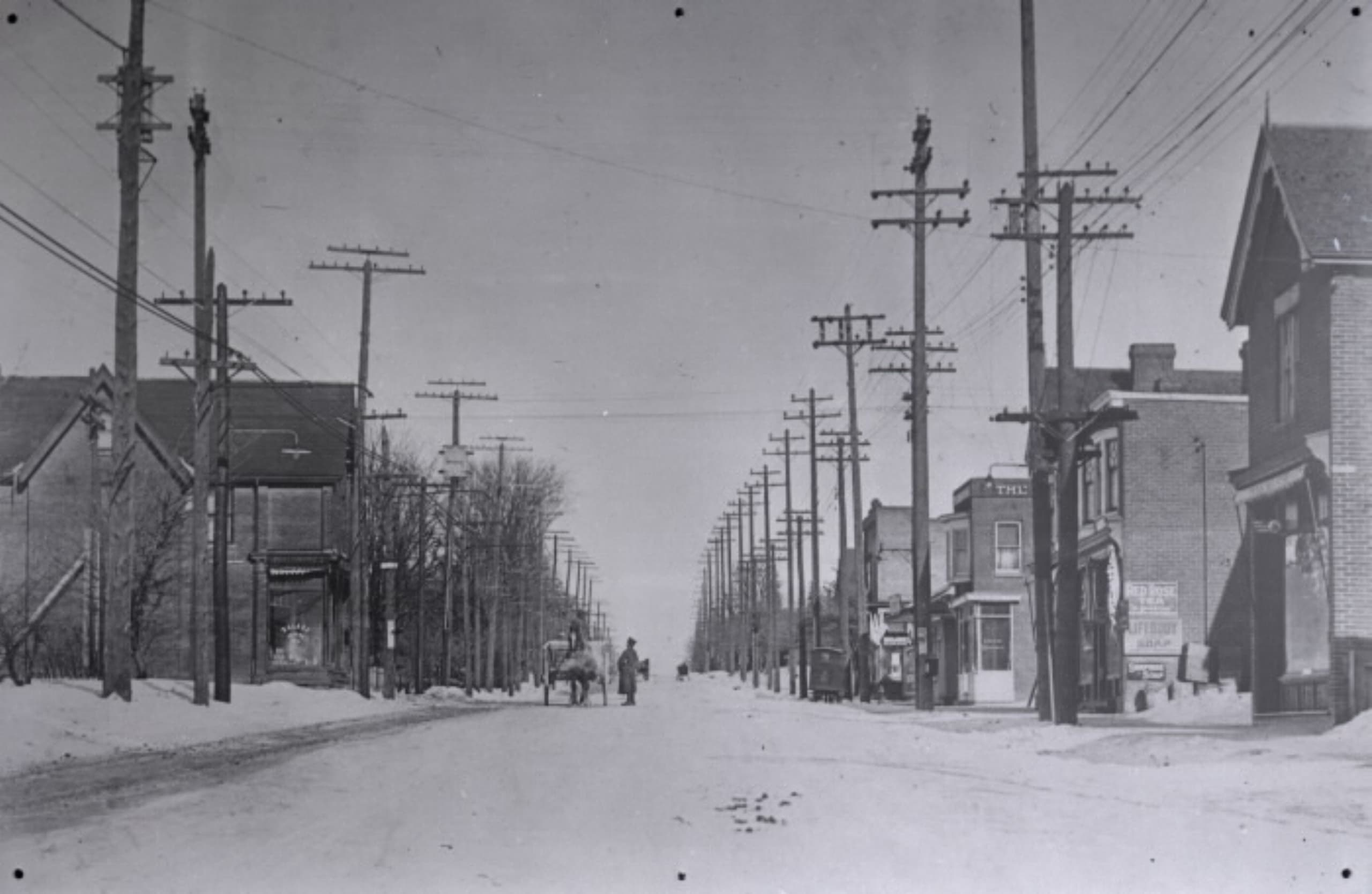
North Toronto & Bedford Park
In December 1912, North Toronto was amalgamated to the city Toronto.
In 1889, the previously unincorporated villages of Davisville and Eglinton formally merged to become the Village of North Toronto. In early 1890, the boundaries were extended, and North Toronto was upgraded to town status.
The neighbourhood has had a mixed-density design for some time, but this is rapidly changing to a greater density with the construction of residential condominium buildings in the area. Mount Pleasant Cemetery serves as a major green space for the southern end of the neighbourhood. South of the cemetery are trails in two ravines of the former Mud Creek and Yellow Creek, which lead to the Don River. On the north side of the cemetery is the Beltline Trail, a heavily-used pedestrian and cycling path on the route of a former railway line.
Bedford Park is an area began as a hamlet that was a popular stopover for farmers making their way to market in the city. The neighbourhood was likely named after the Bedford Park Hotel, which opened in 1873 at the southwest corner of Yonge Street and Fairlawn Avenue, just north of Lawrence Avenue. The corner now houses a Starbucks.
In 1890 Bedford Park was amalgamated with the hamlets of Davisville and Eglinton to the south, and incorporated as the City of North Toronto. In the same year, the Metropolitan Street Railway of Toronto began service to the area, encouraging residential development.